Highlands
Routes
Places to visit
Districts
Zarasai
Ignalina
Utena
Moletai
Anyksciai
Information
About the project
Contacts
EN
LT
LV
RU
DE
Beginning
Routes
Natural Museums
Natural Museums
Trip progress
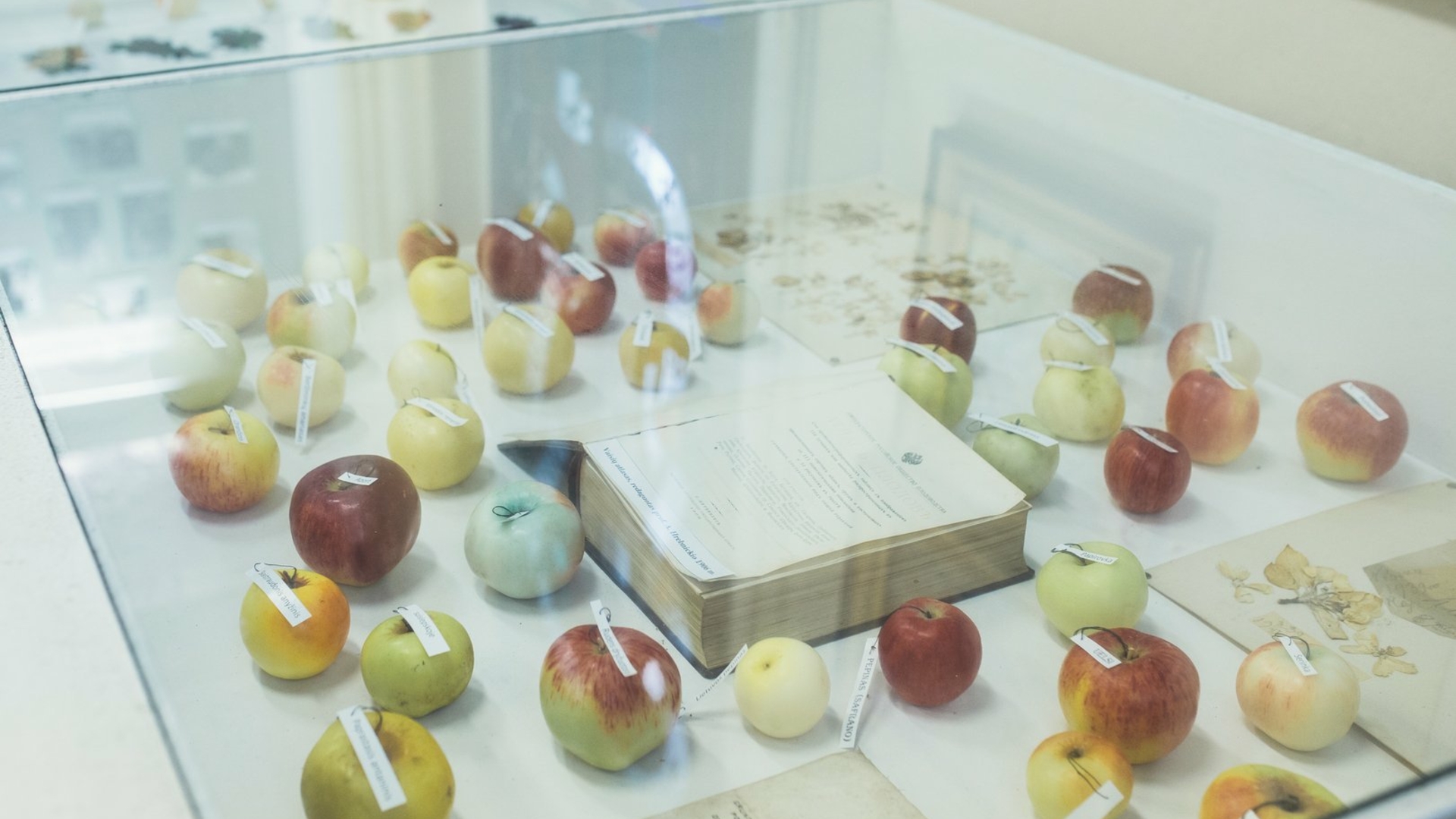
Lake Fishery Museum, Antanas Truskauskas Hunting and Nature Exhibition (divisions of Molėtai Area Museum)
1 h.
Map
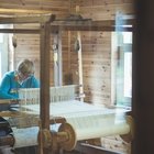
Lake Fishery Museum is a unique place, where you will find everything that is related with fishery in the lakes: from various fishing tools up to the rarest fish which can be found in the lakes. You will also get acquainted with ancient fishing and how this business was changing as the years gone by. The museum is established in the ethnographic farmstead of a fisher, which was rebuilt in the 19th century, consisting of the wooden hut and a barn typical for the Highlands, situated in...
18 km
25 min.
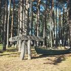
Ethnographical Farmstead and the Ancient Observatory of Celestial Bodies (division of Molėtai Area Museum)
1 h.
Map
When driving the cosy road on the picturesque shore of Lenktinis Lake, you will reach the Ethnographical Farmstead, which is a traditional cottage typical for the Highlands. Here you will see the remaining buildings of an old ethnographic farmstead: a cellar and a barn. A traditional two-sided farmhouse was also built near them. Right by the Ethnographical Farmstead there is an Observatory of Celestial Bodies – a sacred place. Prepare to go back to the ancient times and get acquainted...
1.1 km
< 10 min.
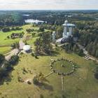
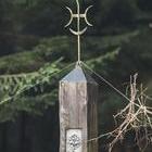
Lithuanian Museum of Ethnocosmology
1.5 h.
Map
Lithuanian Museum of Ethnocosmology is one of the mostly visited places in Lithuania by the tourists from abroad. It was established in Molėtai district, near Kulioniai village, a little farther from Molėtai Astronomical Observatory, close to the mound. Museum of Ethnocosmology is also called astronomical pavilion of special purpose, since its three constitutive parts – underground gallery with five halls, observation tower with a telescope and an outer exhibition create an impression...
28 km
35 min.
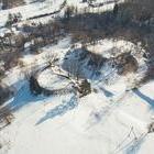
Narkūnai Mound
1 h.
Map
Just as you arrive to Narkūnai Mound, you will be able to feel the special spirit of this place. The hill which has decorated its steep hillsides with tall and strong trees, preserves history covering many centuries. People have been living here from the very old days – this mound, situated on the shore of Utenėlė River is dated even one thousand years B.C. – 2nd c. A.D. and 14–15th c. The mound was examined more than once. In 1835, Pranciškus Vilčinskis, who...
23 km
25 min.
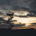
Observation Tower in Bijeikiai
< 1 min.
Map
In case you are searching for a place where you could look at part of the Anykščiai Regional Park from above, we would like to invite you to climb up the Observation Tower in Bijeikiai. It is rather easy to find a way to the tower. Bijeikiai Observation Tower is between the villages of Burbiškis and Mačionys and you will reach it by driving the road 1221 (Burbiškis-Mačionys-Leliūnai). The tower stands here from 2010. Car parking lot and passages were created as...
16 km
20 min.
Šeimyniškėliai (Voruta) mound
< 1 min.
Map
Probably everyone has heard about the first capital of Lithuania – throne castle of King Mindaugas, called Voruta? Even though historians and archaeologists still do not agree on its exact place, one of the most likely places is Šeimyniškėliai mound with its hillfort in Anykščiai district, right near the northern town border of Anykščiai. This speculation is also based on the fact that a strong wooden castle was built here around the middle of the 13th...
7 km
< 10 min.
Horse Museum
< 1 min.
Map
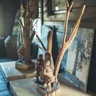
The unique Horse Museum is the only of its kind not only in Lithuania but also in the Baltic countries. The professor of agronomy Petras Vasinauskas thought of establishing this place and implemented this idea in 1978. Three years before opening the museum in Niūronys, Anykščiai district, a proactive scientist has created an original campaign which does not have any analogies up until these days – he has travelled more than 1500 km through Lithuanian roads in a little more than...
15 km
20 min.
The Treetop Walking Path and Puntukas Stone
< 1 min.
Map
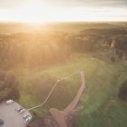
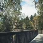
Recently, one of the leading tourist attractions in Lithuania is the Treetop Walking Path. The path is 300 meters long with the highest place reaching 21 meter. The path is made from steel and concrete structures which create a possibility for the visitors to look at the Pinewood of Anykščiai from above. While the gaze is wandering around the treetops, it seems that you look at the Šventoji River, Anykščiai and the suburbs from the bird’s eye. When you climb...
74 km
1.5 h.
Beekeeping Museum
1 h.
Map
Those who are driving towards Ignalina or visiting Aukštaitija National Park simply must stop by the Museum of Ancient Beekeeping, situated in Stipeikiai village, where both the small children and adults will have a great experience. A museum, established on the shore of Tauragna River is the only one of such kind in Lithuania, which cherishes the traditions of beekeeping. Bronius Kazlas, who had started this museum in 1984, probably did not expect that even after three decades...
19 km
25 min.
Botanical Trail (Nature trail)
1 h.
Map
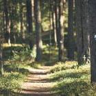
Palūšė is a pearl of the Highlands and a capital of the National Park, which is a perfect place to enjoy water amusement, get some rest and get acquainted with the history of this region. This is also a place which will not disappoint those, who love walking on the nature trails. There is a botanical (nature) trail established between the villages of Palūšė and Meironys near the Lūšiai Lake, which is 3.5 kilometres long and can be tackled going by foot or riding a...
Route
10 objects on the route
9 h.
200 km
Road surface
80 % asphalt
10 % dirt road
10 % forest path
Try it out
Mobile application
Išbandyk išmaniąją programėlę
Keliautojai, norintys išsamiau pažinti Anykščių kultūros paminklus, literatūrines vietoves, pasiekia ir atokų.
Download the route
File
Share
Gallery